Market Share of United Kingdom Geospatial Imagery Analytics Industry
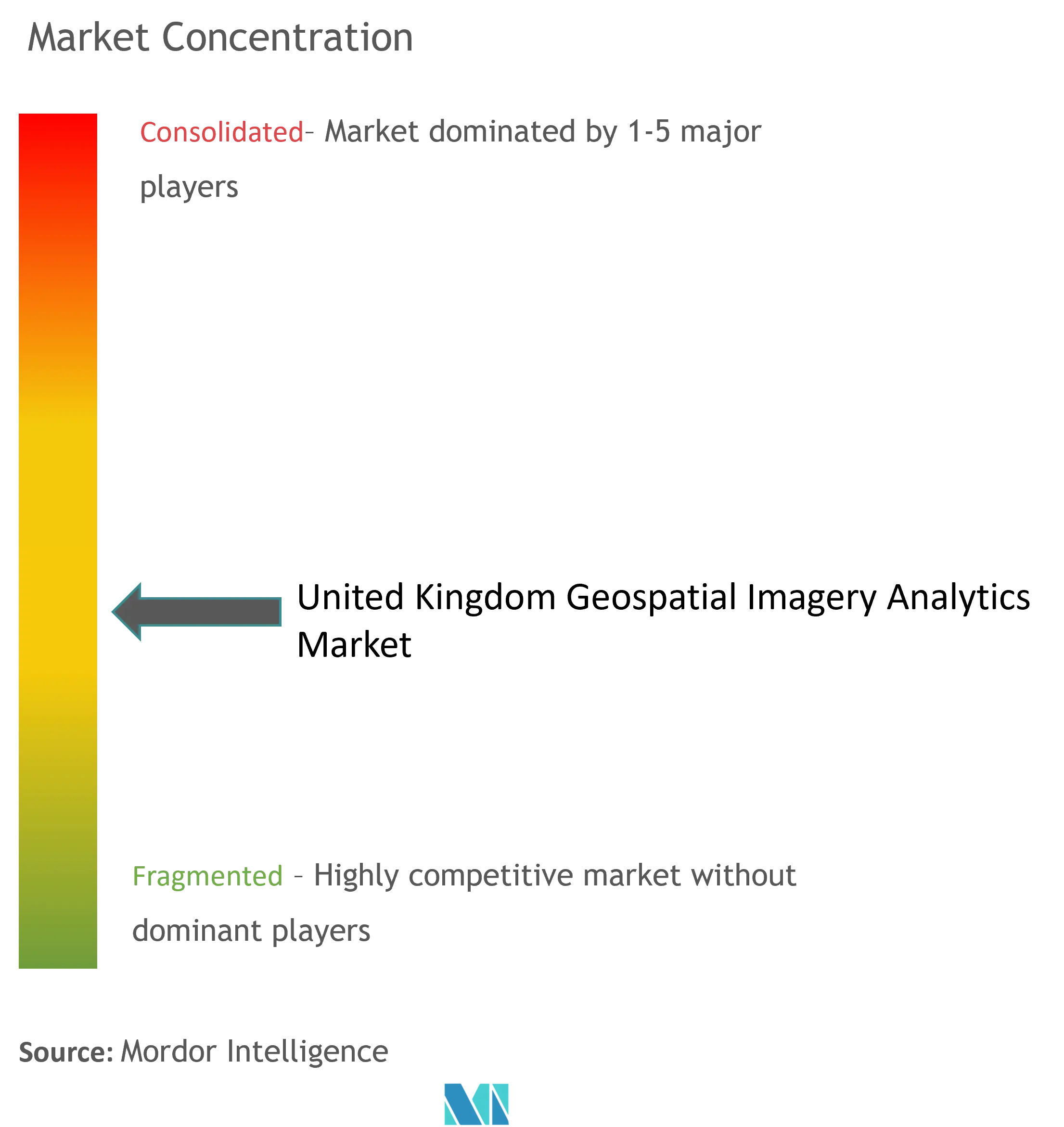
The UK geospatial imagery analytics market consists of many local and multi-national solution providers, making the market is semi fragmented. The market has been registering active investments by the market vendors for portfolio expansions, supported by the renewal of contracts with the end users through partnerships and collaborations, helping the companies to increase their market presence in the country.
- In August 2023, the United Kingdom's Met Office announced the launch of its new climate portal, built on geospatial technology from ESRI UK, including its geospatial imagery analytics, which organizations within government, insurance, transportation, energy, land use, urban planning, and healthcare in the country can use. This collaboration of market vendors with governmental organizations would support the company's market presence.
United Kingdom Geospatial Imagery Analytics Market Leaders
-
Hexagon AB
-
ESRI (UK) LIMITED
-
Trimble Inc.
-
TomTom International BV.
-
L3Harris Technologies Inc.
*Disclaimer: Major Players sorted in no particular order